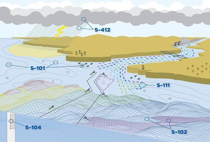
The International Hydrographic Organization (IHO) has introduced a new universal hydrographic data model called S-100, which offers promising benefits to the shipping industry. This data model aims to enhance navigation, operations, and decarbonization efforts within the maritime sector. S-100 is designed to make navigation information more accessible and interoperable, enabling the maritime industry to leverage the increasing amount of data collected daily for economic, commercial, technical, safety, and environmental advantages.
S-100 is set to become the data framework for all digital navigation solutions on ships using the Electronic Chart Display and Information System (ECDIS). This new standard replaces the older S-57 format and represents a significant step forward in navigation data standards. With advancements in technology and improved ship-to-shore connectivity, S-100 is poised to revolutionize navigation information for the industry, with the UK Hydrographic Office collaborating closely with stakeholders towards this advancement.
One of the critical benefits of S-100 for the shipping industry is its potential to enhance fuel efficiency and contribute to decarbonization efforts. By utilizing comprehensive and standardized data, S-100 enables ships to reduce fuel consumption, plan optimized voyages, and make more environmentally responsible decisions during operations. The integration of various datasets, such as bathymetric surfaces, tidal data, and surface currents, allows for more efficient route monitoring and fuel conservation strategies. Furthermore, S-100 can help reduce operational inefficiencies, like “Sail Fast, Then Wait,” and enhance port operations through improved tidal models and precise data forecasting.


