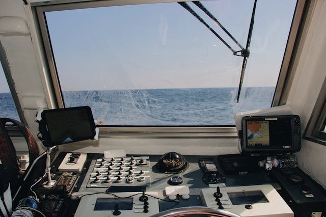
UK Maritime Trade Operations (UKMTO) has issued a new advisory following a surge in reports of interference affecting the Global Navigation Satellite System (GNSS) and AIS displays. This advisory coincides with Qatar’s ongoing efforts to address a reported “technical fault in GPS” that emerged over the weekend. Since October 3, there has been a marked increase in interference reports, particularly around Bandar-e-Pars (Iran), the Strait of Hormuz, and Port Sudan, prompting UKMTO to urge ships to exercise heightened caution.
The advisory highlights that vessels are experiencing “AIS Speed anomalies,” with these irregularities noted across the Gulf, Port Sudan, and the Suez Canal. In response to the GPS issues, Qatar’s Ministry of Transport mandated a temporary suspension of maritime navigation activities starting October 4. While the ban was partially lifted to allow daytime navigation, smaller vessels, including pleasure crafts and fishing boats, are still required to return to port before sunset and remain within 12 nautical miles of the coast.
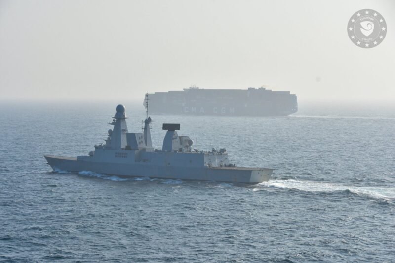
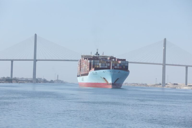
UKMTO reiterated a warning from the Joint Maritime Information Center (JMIC), advising vessels in the Red Sea and Strait of Hormuz not to rely solely on electronic navigation systems. This caution follows an incident involving the containership MSC Antonia, which grounded due to suspected GPS jamming. Although interference is considered a routine issue in the region, authorities continue to emphasize the risks, and the source of the recent disturbances remains unidentified.