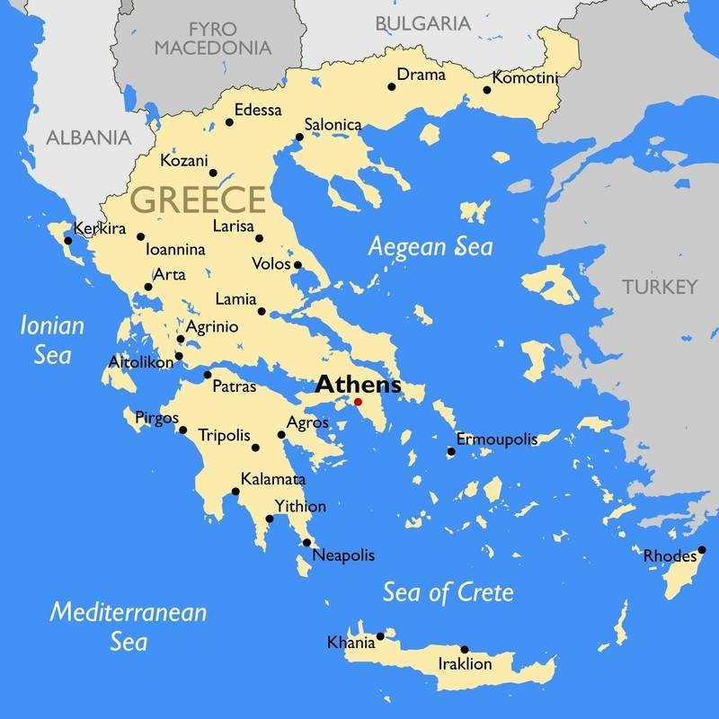
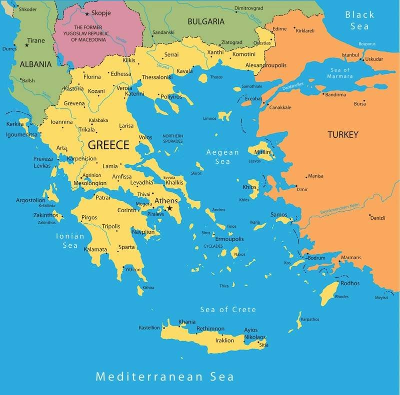
Greece recently announced the completion of its marine spatial planning (MSP), along with the release of the official map by the Ministries of Foreign Affairs and Environment and Energy. The MSP initiative aims to organize human activities in marine areas to achieve a balance of ecological, economic, and social objectives. This marks a significant milestone for the country, as it establishes rules for the organization of its maritime space for the first time.
In November of the previous year, the European Commission published a map delineating Greece’s maritime zones, which included the recognition of all islands – including Kastellorizo in the southeastern Aegean. In response to this, Turkey’s Foreign Ministry issued a statement asserting its intention to take “all necessary measures to protect our rights in the Aegean and Cyprus.” The release of the official map has sparked discussions and potential tensions in the region regarding maritime boundaries and territorial rights.
The completion of Greece’s MSP and the release of the official map have significant implications for the organization and management of the country’s maritime space. By establishing clear rules and boundaries, Greece aims to promote sustainable development and balance various interests in its marine areas. The move also highlights the importance of international agreements and cooperation in addressing maritime issues and ensuring the protection of rights for all parties involved.