A powerful storm system is rapidly intensifying over the North Atlantic, generating hurricane-force winds and severe seas. U.S. forecasters have issued urgent warnings for mariners in the area, as the storm poses significant risks. As of December 16, the storm’s main center was located near 52°N 43°W, with a pressure reading of 938 millibars and moving northeast at 30 knots. Winds within the storm range from 60 to 80 knots, while wave heights surge to 15 meters, roughly 49 feet.
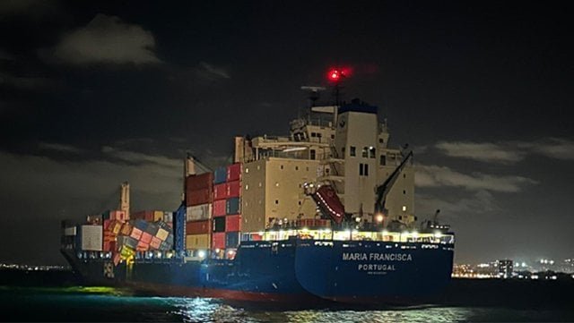
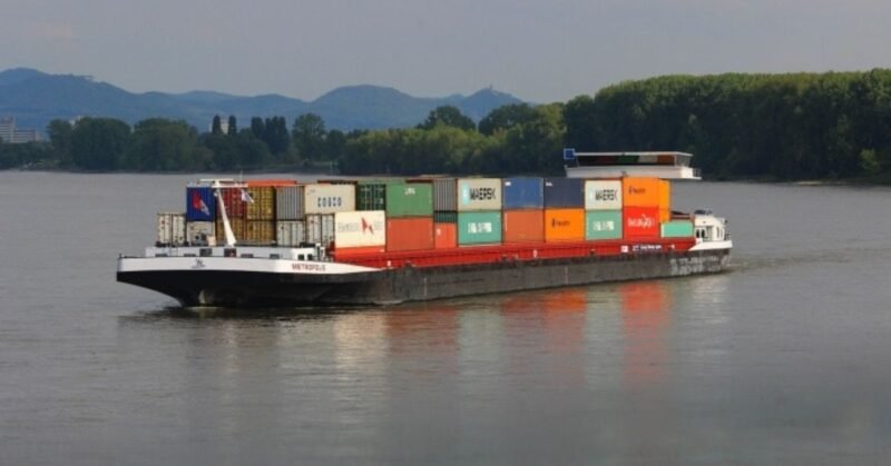
This storm has already resulted in the loss of approximately 45 containers from a containership, redirecting it to Las Palmas in the Canary Islands. The National Weather Service’s Ocean Prediction Center has issued a warning for hurricane-force winds in the affected region. Forecasts indicate winds of 60 to 80 knots and waves between 9 to 15 meters across specific quadrants, impacting a wide swath from 43°N to 53°N.
Additionally, warnings for heavy freezing spray have been issued, particularly affecting vessels in the Gulf of Saint Lawrence and portions of the Canadian coast. Hazards are compounded by dense fog, which can reduce visibility to under one nautical mile in certain areas. As the storm evolves, forecasters note that the conditions can rival those of tropical cyclones, underscoring the urgency and dangers posed to maritime activities.