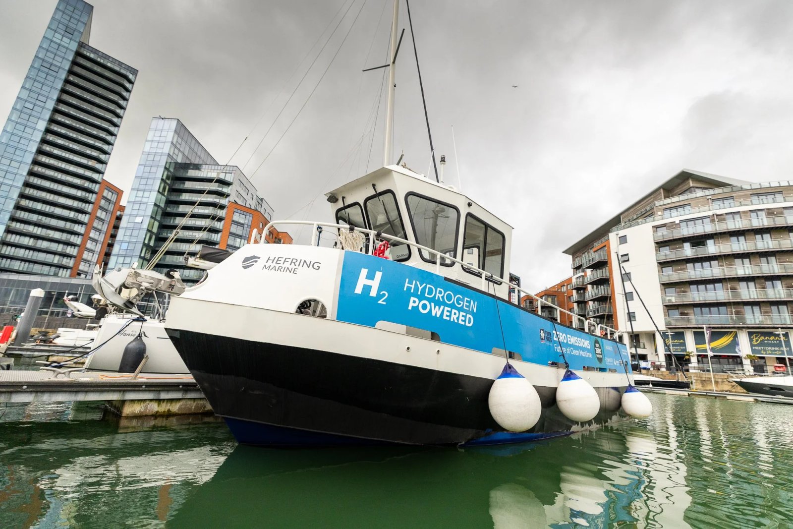
The maritime sector is experiencing a data revolution, thanks to advanced data collection technologies and smart sensors. These innovations allow mariners to access detailed information about the marine environment and monitor onboard equipment in real-time. However, challenges remain, particularly with slow at-sea communications, limiting the sector’s ability to fully utilize data-driven insights. To address this, there is increasing interest in low Earth orbit (LEO) satellite networks, which promise improved connectivity and faster data transfer.
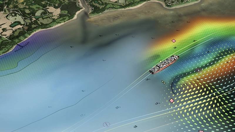
LEO satellites, which orbit much closer to Earth than traditional satellites, offer lower costs and higher speeds. Since the launch of mega-constellations in 2019, LEO satellites now make up nearly 90% of operational satellites, with projections of over 70,000 additional satellites by 2030. This growth could significantly enhance maritime connectivity, allowing vessels to receive timely updates to Electronic Navigational Charts (ENCs) and access complex data layers under the new S-100 framework.
Improved connectivity also benefits ship-shore communication, enabling real-time monitoring of onboard systems and cargo conditions. This allows shore teams to provide critical updates on weather, tides, and port congestion, optimizing vessel operations and reducing fuel consumption. Moreover, enhanced at-sea connectivity is crucial for advancing technologies like Maritime Autonomous Surface Ships (MASS), ensuring safe navigation through reliable data transmission. Overall, leveraging LEO satellite networks can enhance safety, operational efficiency, and innovation in the maritime industry.