OEG Energy Group (OEG) has introduced GEOBASE, a groundbreaking solution for ensuring dimensional control on vessels in the offshore industry. This innovative tool includes calibration software and serves as a database for documenting vessel geometry, standardizing measurements, and verifying heading and attitude sensors. By addressing inconsistencies between hardware and software manufacturers, GEOBASE helps eliminate positioning errors, operational risks, and delays that survey teams often encounter.
Developed by OEG’s team of dimensional control surveyors and software engineers, GEOBASE offers a comprehensive resource for verifying vessel geometry and survey sensors. The software supports all types of vessels and subsea vehicles, ensuring precise calibration and accurate positioning data. Extensive field testing has validated GEOBASE as the industry benchmark for vessel dimensional control and calibration assurance, providing users with a user-friendly tool for conducting surveys, sensor calibration, and position verification.
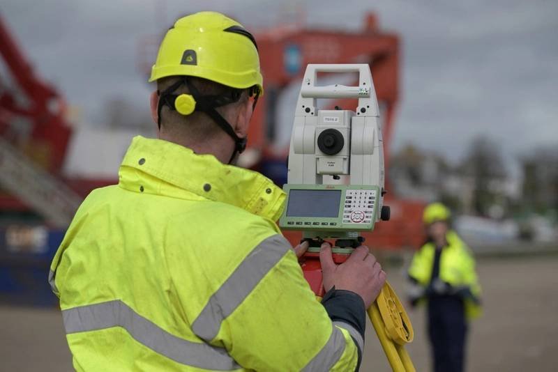
Offshore operations that rely on precise positioning, such as geophysical surveying and installing subsea infrastructure, require accurate vessel dimensional control surveys. GEOBASE enables users of all experience levels to perform these surveys with confidence, offering a two-day training course to maximize its capabilities. By incorporating advanced metrology techniques like offset calculation, sensor alignment calibration, and vessel antenna alignment, GEOBASE ensures millimeter-precision measurements essential for successful offshore operations.