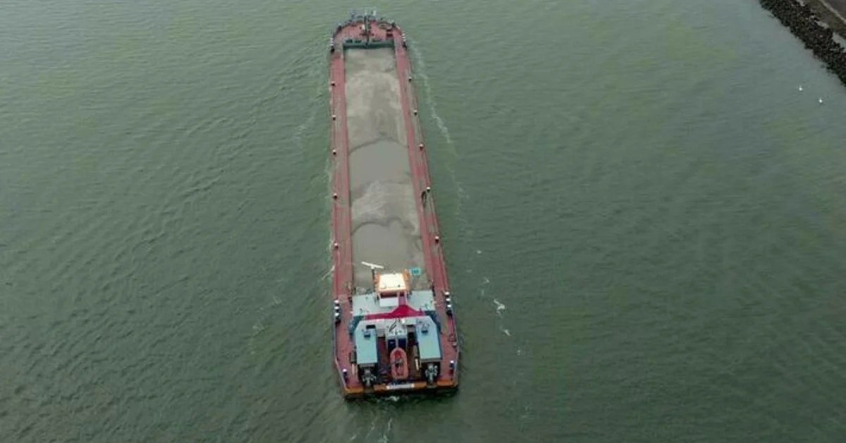
Cargo transportation via India’s inland waterways has significantly increased, climbing from 29 million metric tonnes (MMT) in 2014-15 to an anticipated 218 MMT by 2025-26, reflecting a compound annual growth rate of 20.13%. This growth has already exceeded the 200 MMT target established under the Maritime India Vision 2030. The rise in cargo movement illustrates a transition from potential to actual performance, particularly highlighting the importance of National Waterway-2, which spans 891 kilometers from Dhubri to Sadiya, making it the longest navigable stretch in the country.
Cargo volume on NW-2 increased from 0.90 MMT in FY25 to 1.29 MMT in FY26, indicating a pressing need for enhanced navigational infrastructure. To facilitate continuous movement, new riverine lighthouses are being constructed, and projects are being implemented to improve navigation safety, technology, and tourism along the Brahmaputra River.
India’s waterways are becoming vital economic assets, providing a cost-effective and environmentally friendly transportation option. Transporting goods by water costs about a third of road transport rates and half of rail costs, while also producing significantly lower carbon emissions. This development alleviates congestion on highways, allowing them to focus on passenger and time-sensitive freight.
To adapt to evolving river conditions, hydrographic surveys and fairway maintenance are ongoing, with digital platforms supplying vital information on depths, routes, vessel movements, and weather. Regular thalweg surveys have been conducted across 22 National Waterways, with monitoring systems also covering the Indo-Bangladesh Protocol route, facilitating cargo movement between the two countries. India boasts a total of 111 National Waterways, of which 32 are operational, spanning 20,187 kilometers across 23 states and four Union Territories.