The Worldwide AIS Network has reported unusual AIS position data suggesting GNSS interference affecting vessels in the Black Sea and Gulf regions. Recently, four ships near the Bulgarian coast transmitted 27 AIS positions that inaccurately placed them within a 1 km area in central Lima, Peru, which is about 12,129 km from their actual locations. This anomaly was detected directly by the network’s terrestrial AIS receivers, rather than through aggregated maritime data feeds, enabling real-time identification of GNSS interference before erroneous data is filtered out.
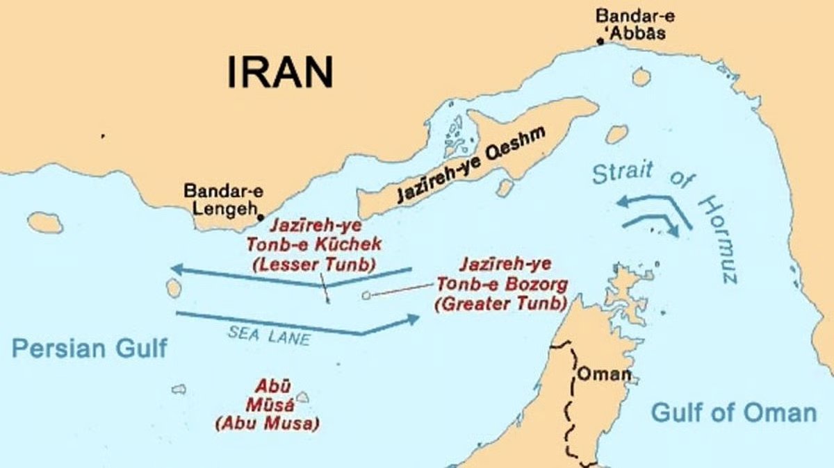
The company noted significant positioning discrepancies in the Gulf between September 2 and 9, recording 1,702 “impossible position jumps” involving 379 vessels. On September 9, nearly one-third of all position reports indicated that the vessels’ positioning systems were flagged as inoperative. While such data is often dismissed as “noise” during maritime dataset cleaning, the Worldwide AIS Network believes these anomalies could serve as valuable indicators of GNSS disruption.
Amid ongoing concerns about GNSS interference in maritime navigation, spoofing poses a significant risk, as it can lead to vessels reporting incorrect positions. To mitigate the effects of GNSS disruption, the company recommends several immediate actions, including switching to dead reckoning position inputs, manually plotting vessel positions using radar, and minimizing reliance on AIS data from nearby vessels. Additionally, it suggests maintaining safe distances from other traffic and keeping the Master informed to enhance bridge resource management.